

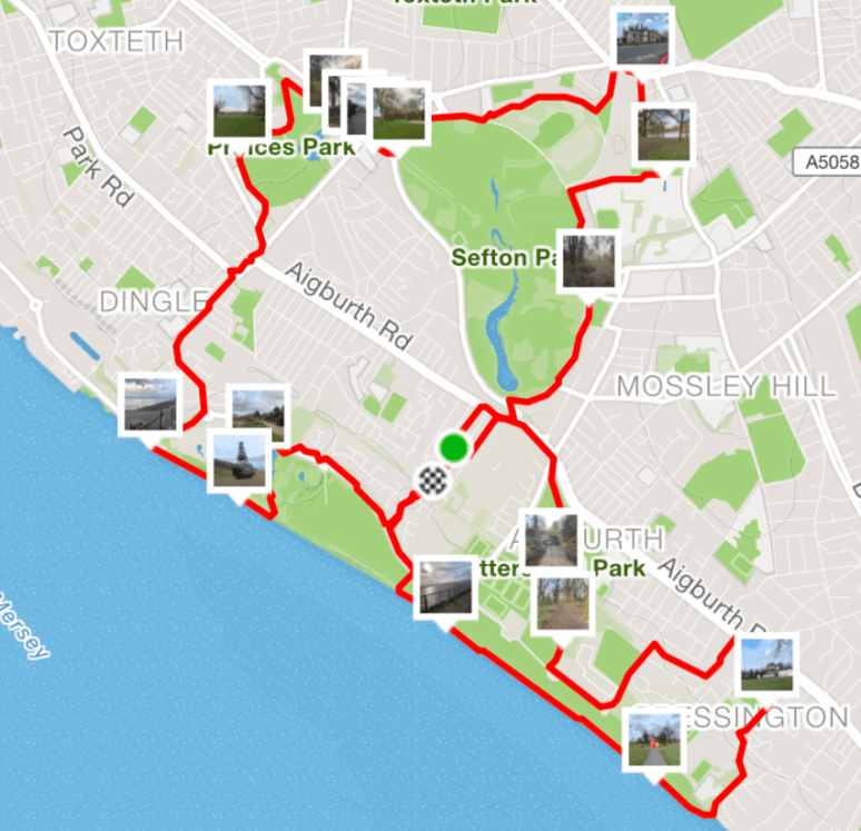
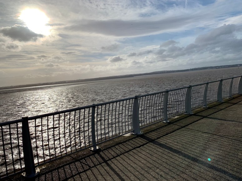
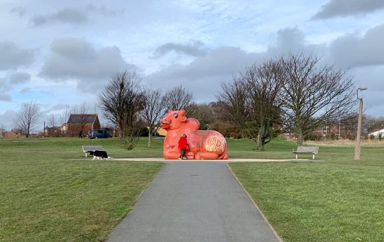
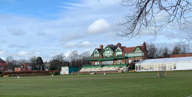
Last “long run” before the half-marathon next week and, as a final post, I thought it would be nice to share some of scenery from my favoured route. All the photos were taken yesterday (you see where on the map to the right) as I was running past.
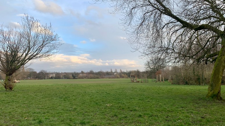
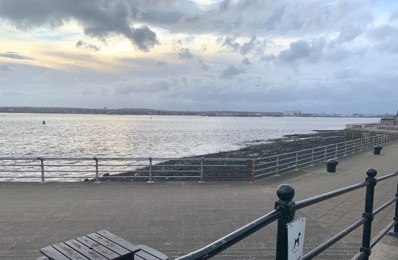
I think before people visit Liverpool they think it is a gritty industrial city; however, once you get here, you realise that it’s really well designed with lots parks and green spaces. Really this is just one little bit of our city (Aigburth), about 3 miles South of the main downtown area.
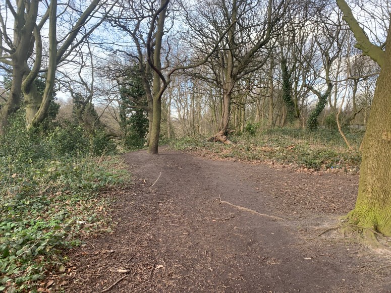
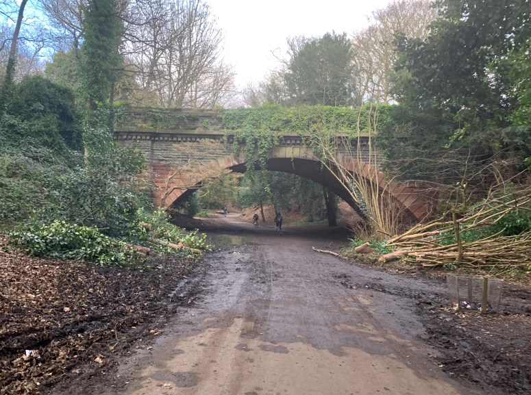
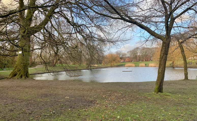
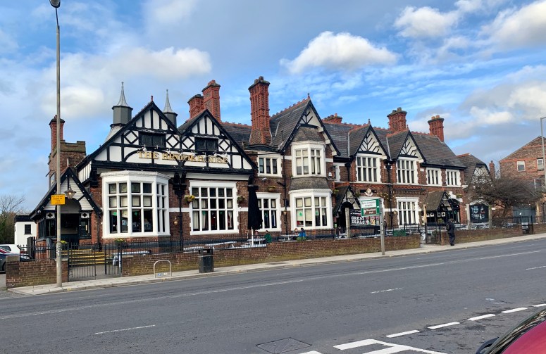
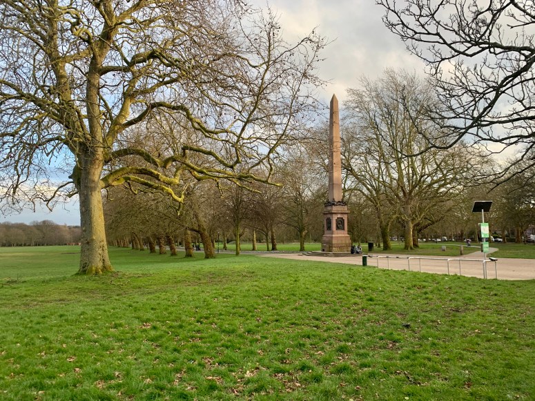
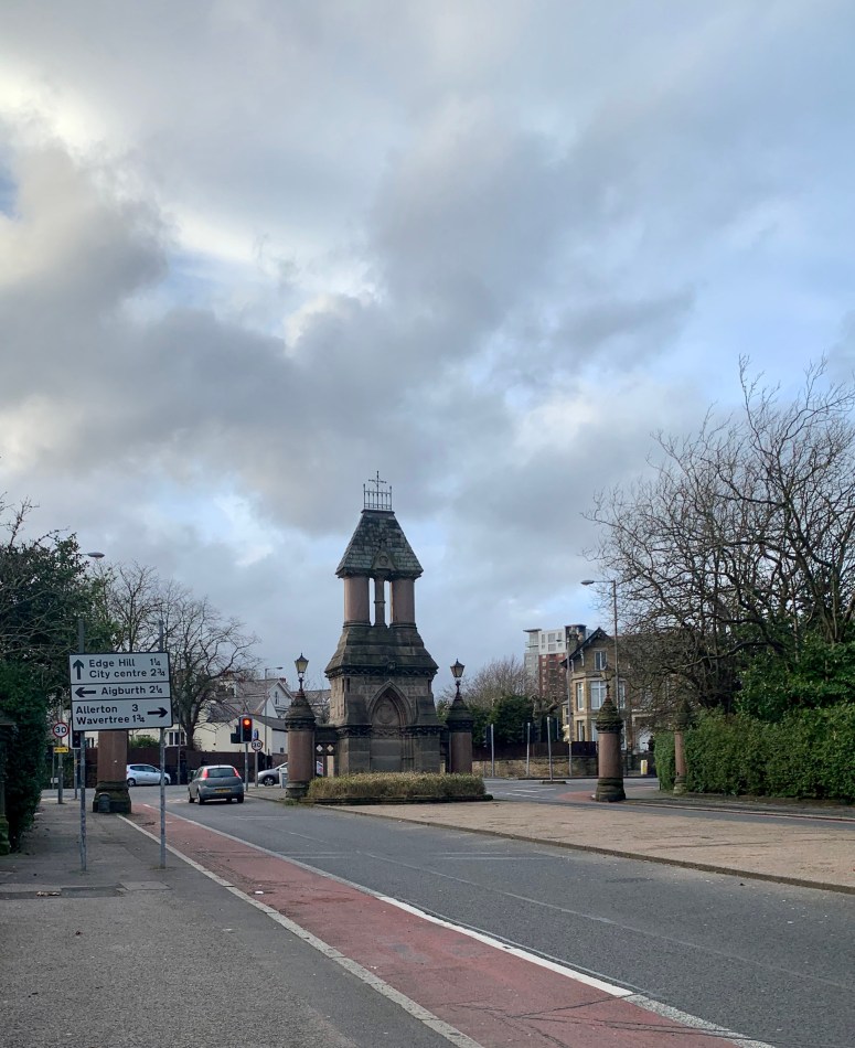
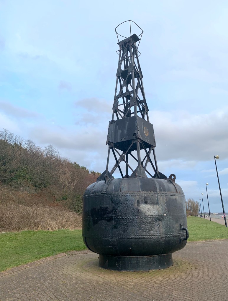
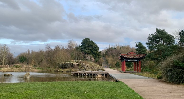
My route took me along the riverside path, past the big red cow, up past Aigburth Cricket club, then back down to Otterspool nature reserve (under the muddy bridge), over to Sefon park, a wee trip through Greenbank park (I didn’t stop at the pub), then rejoined Sefton park further round, on to Princes park (wood henge), and then back down to the riverside until I hit Festival gardens with the pagoda). 5 different parks with minimal time on the roads connecting them.


There’s still time to sponsor me before the half-marathon next week: https://www.justgiving.com/fundraising/khamill
Find out more about the story behind this sudden interest in running in the original blog post
Also, training update here.

1 Comment